|
<< Click to display Table of content >> Others |
  
|
|
<< Click to display Table of content >> Others |
  
|
Others
Adding of the ability to zoom in the Section window
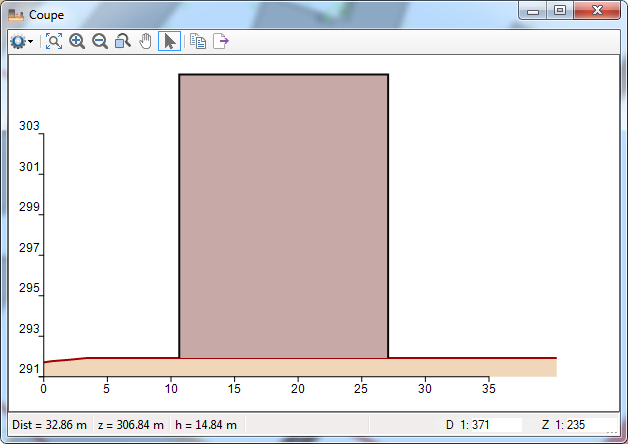
In the Section window, it is now possible to zoom using the mouse wheel or by using the ![]() buttons (zoom in, zoom out, extended zoom).
buttons (zoom in, zoom out, extended zoom).
This also applies for the following windows:
•Section of a vertical map
•Map section of building facades (accessible by right-clicking on an element of a facade map)
•Window detailing rays used in a simulation
Adding of a redraping function
Draping is the operation of determining the altitude (Z coordinate) of an object so that it matches the altitude of the terrain on which the object is located.
Resetting the altitude of an object could sometimes be complicated. This is usually done by redoing the integration of the object.
A new redraping function is now available in the MithraSIG ribbon, in the Geometry tab.
To redrap an object, select the object and click on the  button in the Clean section.
For more information, go to the Redrap an objec page of the documentation.
Adding of the possibility of performing a simulation on building facades at fixed height
A facade simulation give results for the facades of buildings, for each floor of each building.
The height of the receivers of a facade simulation can therefore be variable and depend on the buildings in the study area.
It is now possible to fix this height.
This is particularly useful in the context of the European directive for which the simulation of the impacted populations must be done at a height of 4 m.
Adding of the simulation of populations according to the CNOSSOS method
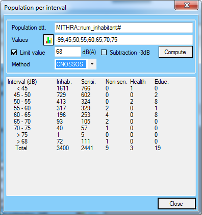
When calculating the impacted populations, it is now possible to choose between the NMPB method and the CNOSSOS method.
For more details on calculating populations, go to the Populations page of the documentation.
Redesign of the theme creation window
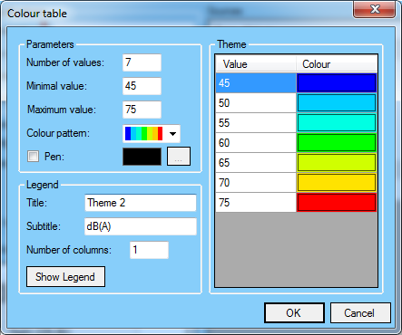
The theme creation interface has been revised to make the creation of a theme easier and more intuitive.
From a number of values, a minimum value, a maximum value and a colour pattern, the software automatically determines each range of values and its colour.
It is also possible to manually change the values and colours.
Updating map operations
It is now possible to update a map operation (in the same way as labels).
A map operation based on a map that has been updated is now displayed in purple to indicate that it is no longer synchronous with the original map.
The map operation is updated by selecting it in the project window, right-clicking on it and clicking on Update map operation.
The parameters of the map operation can also be modified by proceeding in the same way.
Adding of the possibility to create simulations and maps based on an indicator of LAmax type
In the previous version, it was possible to manipulate dynamic indicators (LAmax, SEL, TEL) in the Signature window.
This window was available by performing a receiver type simulation with a "LAmax (railway)" storage mode.
It is now possible to create any type of simulation with the "LAmax (railway)" storage mode.
This allows in particular to create maps of isophones of LAmax.
Non hourly cutting periods
It is now possible to create cutting periods that are not based on the division of a day.
For example, a cutting period "Summer / Winter". it is also possible to create a cutting period with periods which have no link between them: "Summer / Rush hour".
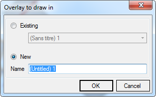
Adding of the choice of layer where create new geometric objects
When creating a geometric object (point, line, polygon, buffer, parallel), a new window allows you to specify in which layer to create the object.
Adding of an advanced spectrum input interface
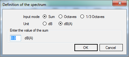
A new window has been added wherever it is possible to enter a spectrum. It is accessible by clicking on the ![]() button.
button.
This window allow you to enter the spectrum by specifying the unit (dB or dBA) and the entry mode (Sum, Octaves or Third octaves).
