|
<< Click to display Table of content >> Parameters and representations |
  
|
|
<< Click to display Table of content >> Parameters and representations |
  
|
MithraREM has several modes of representations for the maps.
Grids
Grid, defined by its resolution:
Horizontal constant height, multi-heights or indoor and vertical simulations |
|
|---|---|
 Grid parameters (constant height)
|
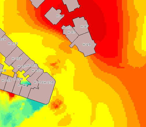 Horizontal grid
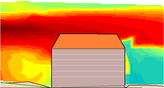 Vertical grid |
 Grid parameters (multi-heights / indoor) |
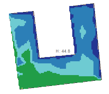 Horizontal grid (indoor) |
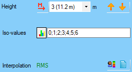
•The Height allows to specify the height of the visualisation of the map, if the simulation allows the multi-heights.
•The buttons ![]() and
and ![]() are available for a multi-heights horizontal simulation, or for a horizontal indoor simulation: it allows to switch the visualisation height.
are available for a multi-heights horizontal simulation, or for a horizontal indoor simulation: it allows to switch the visualisation height.
•The button ![]() allows to automatically select the height where the maximum level is calculated.
allows to automatically select the height where the maximum level is calculated.
•The Resolution corresponds to the distance that a pixel represents. A resolution of 5m means that 1 pixel = 5m. To avoid excessive interpolation, this value should be related to the receiver resolution chosen for the simulation.
•The Interpolation reminds the mode chosen on the default parameters (linear or RMS (recommended)).
•The button ![]() allows the access to the statistics interface for the grids.
allows the access to the statistics interface for the grids.
•The Interpolate in buildings option makes it possible to obtain a complete map with buildings (without taking into account the facade attenuation).
Important: A grid map will not be "flat" in 3D view. The dB value is stored in the Z of the pixels of the grid for the export. Due to that, in 3D view, the Z of the pixels will be interpreted as an elevation and the map will be in relief.
Points
Points directly representing the simulation receivers:
All types of simulations |
|
|---|---|
 Receiver parameters (constant height)
 Receiver parameters (multi-heights / indoor)
 Receiver parameters (terrace)
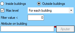 Receiver parameters (facade) |
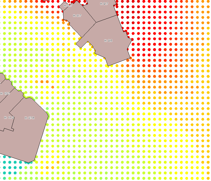 Receivers (horizontal)
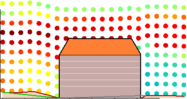 Receivers (vertical) 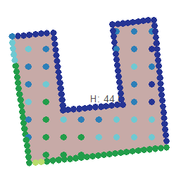 Receivers (horizontal indoor / terrace) 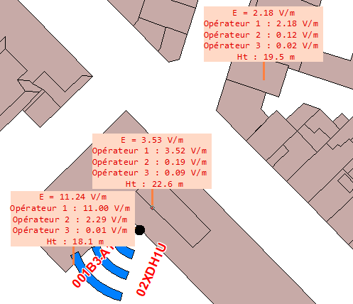 Receivers (level max) 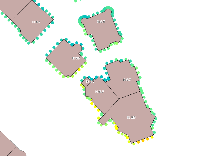 Receivers (facade) 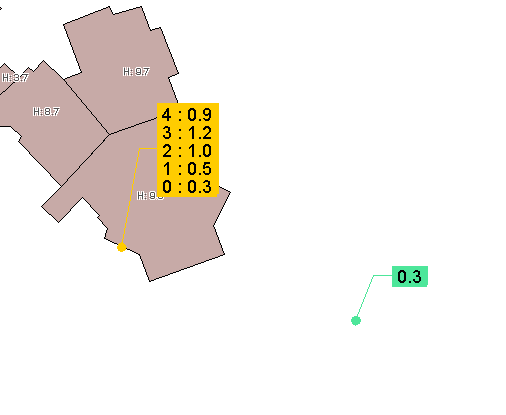 Receivers (punctual)
|
•The Height allows to specify the height of the visualisation of the map, if the simulation allows the multi-heights.
•The buttons ![]() and
and ![]() are available for a multi-heights horizontal simulation, or for a horizontal indoor simulation: it allows to switch the visualisation height.
are available for a multi-heights horizontal simulation, or for a horizontal indoor simulation: it allows to switch the visualisation height.
•The button ![]() allows to automatically select the height where the maximum level is calculated.
allows to automatically select the height where the maximum level is calculated.
•Inside/Outside buildings allows to choose the exposure level to display between the inside or the outside of the buildings. Options only available for the facade simulation with the CSTB 2016 method.
•The option Max level allows to see the maximum level value for each building:
ooption building for the maximum level on each building.
ooption domain for the maximum level over a minimum values and corresponding the a minimum distance between them.
ooption terrace for the maximum level on each terrace.
ooption facade for the maximum level on each facade calculated.
ooption all heights for the maximum level between all the heights.
ooption current height for the maximum level for a specific height.
ooption simulation for the maximum level of all the calculated receivers.
If the option Max level is not ticked, all the receivers of the simulation are displayed.
•The option Filter value corresponds to a filter to apply to see only the receivers over the minimum value.
•The Attribute on 'Building' overlay corresponds to the name of the attribute that the user can add to each building: its value is the Max level value calculated on the building.
•The button ![]() opens the statistic interface of the receivers.
opens the statistic interface of the receivers.
•The button ![]() opens the population per interval interface.
opens the population per interval interface.
Lines
Lines drawn to the level values indicated by the user:
Horizontal constant height, multi-heights or indoor and vertical simulations |
|
|---|---|
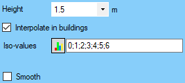 Line parameters (constant height)
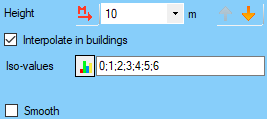 Line parameters (multi-heights / indoor)
 Line parameters (vertical) |
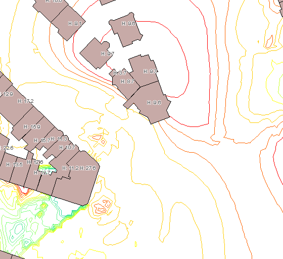 Lines (horizontal)
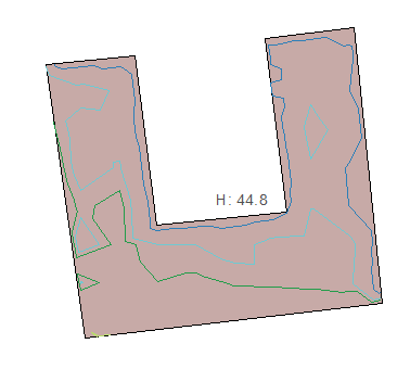 Lines (horizontal indoor / terrace) 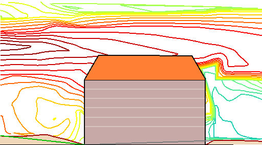 Lines (vertical) |
•The Height allows to specify the height of the visualisation of the map, if the simulation allows the multi-heights.
•The buttons ![]() and
and ![]() are available for a multi-heights horizontal simulation, or for a horizontal indoor simulation: it allows to switch the visualisation height.
are available for a multi-heights horizontal simulation, or for a horizontal indoor simulation: it allows to switch the visualisation height.
•The button ![]() allows to automatically select the height where the maximum level is calculated.
allows to automatically select the height where the maximum level is calculated.
•The Interpolation reminds the mode chosen on the default parameters (linear or RMS (recommended)).
•The Interpolate in buildings option makes it possible to obtain a complete map with buildings (without taking into account the facade attenuation).
•Smooth allows to round the lines.
•The update iso-values window is accessed via the ![]() button (see Update iso-values).
button (see Update iso-values).
oIso-values must be separated by a ';'.
oAll negative values are ignored.
oValues can be entered in any order.
Polygons
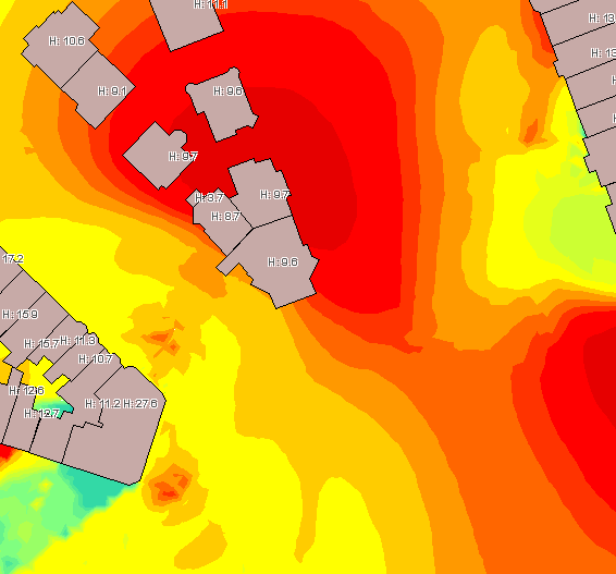
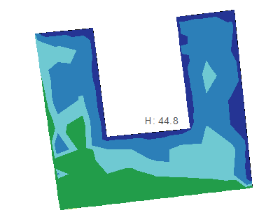
Areas drawn to the level values entered by the user:
All types of simulations (except receivers) |
|
|---|---|
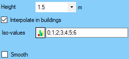 Polygons parameters (constant height)
 Polygons parameters (multi-heights / indoor)
 Polygons parameters (terrace)
 Polygons parameters (vertical)
 Polygons parameters (facade) |
 Polygons (horizontal)
 Polygons (horizontal indoor / terrace)
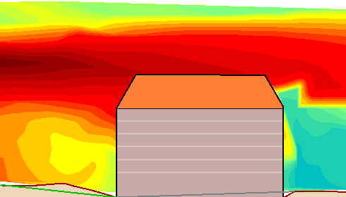 Polygons (vertical)
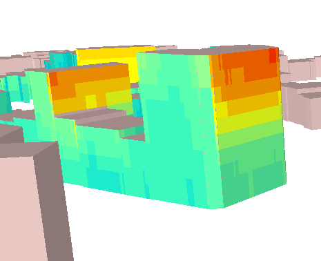 Polygons (facade) |
•The Height allows to specify the height of the visualisation of the map, if the simulation allows the multi-heights.
•The buttons ![]() and
and ![]() are available for a multi-heights horizontal simulation, or for a horizontal indoor simulation: it allows to switch the visualisation height.
are available for a multi-heights horizontal simulation, or for a horizontal indoor simulation: it allows to switch the visualisation height.
•The button ![]() allows to automatically select the height where the maximum level is calculated.
allows to automatically select the height where the maximum level is calculated.
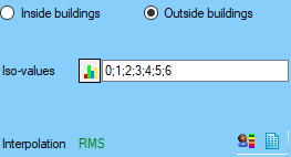
•Inside/Outside buildings allows to choose the exposure level to display between the inside or the outside of the buildings. Options only available for the facade simulation with the CSTB 2016 method.
•The Interpolation reminds the mode chosen on the default parameters (linear or RMS (recommended)).
•The Interpolate in buildings option makes it possible to obtain a complete map with buildings (without taking into account the facade attenuation).
•Smooth allows to round the lines.
•The update iso-values window is accessed via the ![]() button (see Update iso-values).
button (see Update iso-values).
oIso-values must be separated by a ';'.
oAll negative values are ignored.
oValues can be entered in any order.
•The button ![]() opens the population per interval interface.
opens the population per interval interface.
•The button ![]() opens the Surface per interval interface.
opens the Surface per interval interface.