|
<< Click to display Table of content >> Version 5.1 |
  
|
|
<< Click to display Table of content >> Version 5.1 |
  
|
Open Street Map
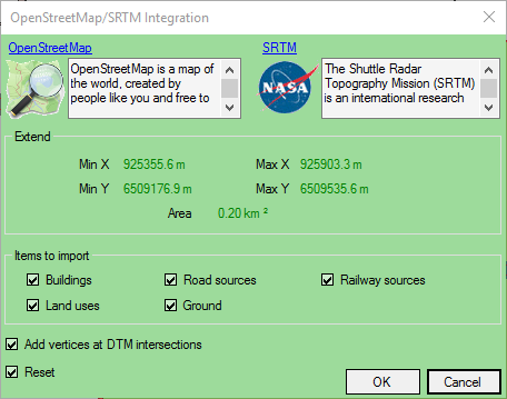
The OpenStreetMap function of MithraSIG allows to download data from internet on a specified area, and convert them automatically into MithraSIG objects. So, no need to use the process integration/convertion of data.

Table labels
We have improved the Table labels on several points:
•Now, it is possible to update the table labels without recreate them: add/delete columns, modify the parameters of the simulation to take into account, update results after having relaunch a simulation.
•The legend can be displayed inside the labels.
•Floors can be hidden in the labels.
•Groups of labels can be created on 4 filter levels to only see some of them.

Generalisation of maps and Géostandard
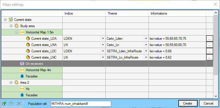
We have added a function allowing to create several map "on the fly". Just enter the parameters for one and use the generalisation functions to create the others automatically by type of sources, natures or periods.
The function "Generalise European Standard" takes into account the Geostandard and allows to create automatically this type of maps.

Export KMZ — Google Earth
We have improved our function to export files with a feature allowing you to create KMZ files that can be displayed in Google Earth. The objects such as facade are located properly.
