|
<< Click to display Table of content >> Geoprocessing tools |
  
|
|
<< Click to display Table of content >> Geoprocessing tools |
|
Geoprocessing tools
These tools that allow MithraSIG to offer you the best geospatial tools are numerous and process vector and raster data. Here we will chain a series of specific operations in order to show you how to use these tools. We will not go into an exhaustive description of all the tools here.
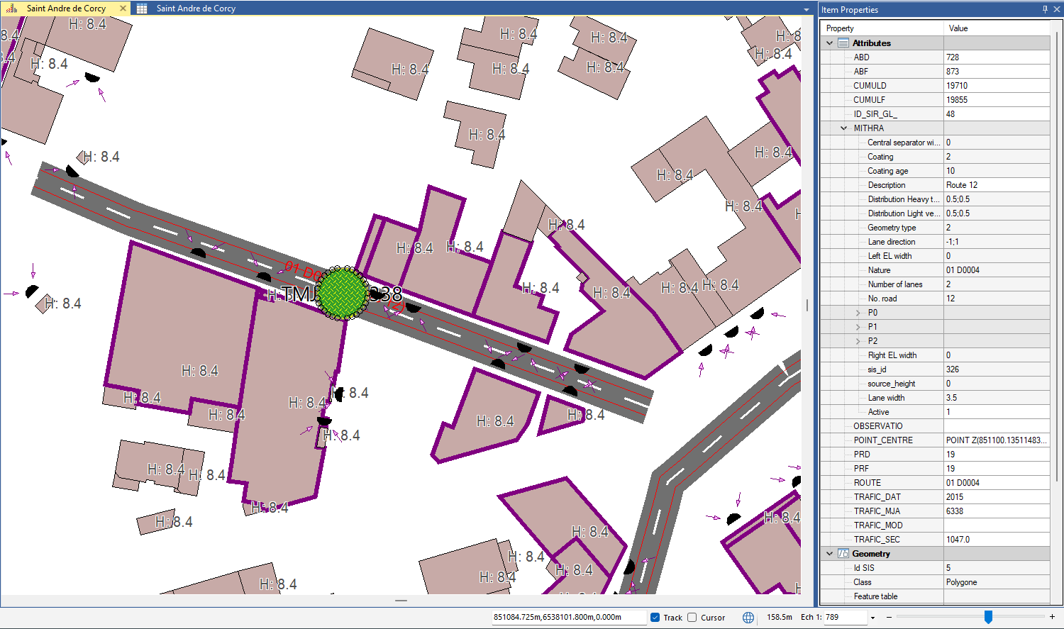
Our goal is to create a 5 m buffer of the centroid of roads for example.
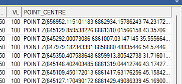
•In the road table view, create a new attribute "POINT_CENTRE" and fill it with the following formula:
ST_AsText(ST_GeomFromText(" POINT (" + str(_midpointx#) +" "+ str(_midpointy#) +" " + str(_midpointz#) + "), EPSG:2154" ))
This formula has the effect of creating the centroid of an entity in WKT ("well known text") format
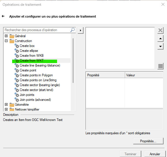
•Let's transform this attribute information into geometry:
By opening the geoprocessing utility to the "Construction" tab:
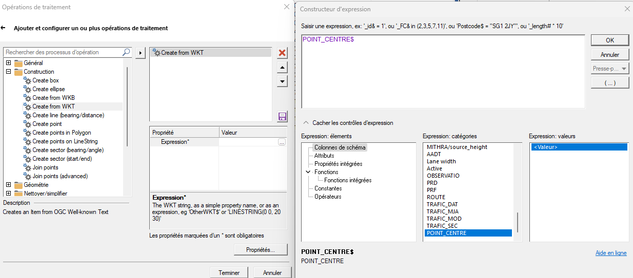
•Then by indicating the column containing the WKT:
•Let's continue with the construction of the 5 m buffer:
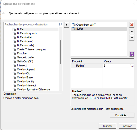
We can see that the operations are cumulative. Here is the result:
Please note that the buffer retrieves the attributes of the road of which it is the center. This attribute transfer did not exist in previous versions of the buffer tool.