|
<< Click to display Table of content >> DTM representation |
  
|
|
<< Click to display Table of content >> DTM representation |
  
|
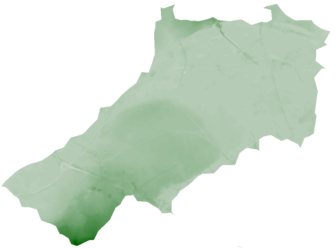
In MithraREM, the DTM is a pixelized grid. Each pixel represents a distance in the reality, distance that can be modified in the option of the software. The finer the pixel resolution is, the heavier the grid will be to process.
The DTM is a visual help about the relief. A thematic allows highlighting the difference in height of the project: a light color for the lowest altitudes and a dark color for the highest. Gradient colors can be modified from the software options.
The items taken into account for the DTM are: the ground and the buildings.

DTM representation