|
<< Click to display Table of content >> Terrace simulation |
  
|
|
<< Click to display Table of content >> Terrace simulation |
  
|
This type of simulation is to simulate on the terraces of the buildings, i.e. a horizontal map above the buildings. The height of the receivers depends on the the height of the building under the terrace. The domain of simulation is represented by a polygon. Only terraces within this area are simulated.
The icon is ![]() .
.
Settings:

Terrace simulation
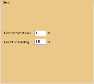
•Receiver resolution: maximum distance between receivers on a same terrace.
•Height on building: height of the receivers over the building associated to the terrace.
|
In the case where a roof is under a terrace, the terrace is calculated by following the slope of the roof. |
|---|